Mid-Sized Cities and Their Urban Rail Systems: A Comparison of Rail Systems in 14 Mid-Sized North American and European Cities with Maps - Paperback
Mid-Sized Cities and Their Urban Rail Systems: A Comparison of Rail Systems in 14 Mid-Sized North American and European Cities with Maps - Paperback
Couldn't load pickup availability
by Mike Strong (Author)
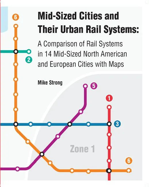
In this atlas, seven rail systems in North America are compared with each other, and for additional perspective, the rail systems in seven similar European cities. These comparisons are primarily made through maps. A common scale and map symbologies are used to facilitate these comparisons. These maps not only compare size of each rail system, but other characteristics such as travel time, frequency and how much it costs to buy a ticket. The North American regions included in this atlas all have constructed modern rail systems since the 1970s. This atlas has focused on systems that have recently completed or are planning an expansion. These metropolitan areas and rail systems include: North America: Calgary, Alberta (CTrain) Denver, Colorado (RTD Light Rail) Minneapolis, Minnesota (Metro Light Rail) Portland, Oregon (MAX Light Rail) San Diego, California (San Diego Trolley) Seattle (Link Light Rail) Vancouver, British Columbia, Canada (SkyTrain) Europe: Brussels, Belgium (Metro) Copenhagen, Denmark (Copenhagen Metro) Hamburg, Germany (U-Bahn) Helsinki, Finland (Helsinki Metro) Milan, Italy (Metro) Munich, Germany (U-Bahn) Stockholm, Sweden (Tunnelbana) Only medium-sized metropolitan areas have been included, defined as having between one and five million residents. All of the North American and European regions that are included in this atlas are broadly similar in size, demographics and economics. Each region has a healthy city center at its core.
Author Biography
The author is a GIS (Geographic Information Systems) analyst who lives in the Seattle area. This atlas combines his interest in maps and public transportation.